Hiking Snowdon: The 6 Routes to the Summit & Packing List
Welcome to the ultimate guide to conquering Snowdon, the highest peak in Wales and the jewel of the Snowdonia National Park. With a rich history dating back to the Bronze Age, Snowdon has long captured the hearts of adventurers and nature lovers alike. Whether you're a seasoned hiker or a casual walker, the six distinct routes up the mountain cater to a variety of skill levels and preferences. Each path offers its own unique blend of awe-inspiring landscapes, heart-pumping challenges, and a sense of accomplishment that will leave you craving more.
But tackling Snowdon isn't just about selecting the right route; it's also about preparing yourself with the essential gear to ensure a safe and enjoyable experience. That's why we've included a comprehensive packing list, carefully curated to help you face the unpredictable Welsh weather and rugged terrain with confidence.
6 Routes to the Summit
Choosing the Right Snowdon Route for You
Selecting the perfect Snowdon route depends on your experience, fitness level, and preferences. Here's a quick overview of the best options for different types of hikers, including the distance and time for each route (one-way):
For beginners and families: The Llanberis Path (4.5 miles, 2.5-3.5 hours) is the easiest and most popular route, perfect for first-time mountain walkers or families with children.
For classic views and a popular experience: The Pyg Track (3.65 miles, 2.5-3.5 hours) and Miners Track (3.65 miles, 2.5-3.5 hours) offer incredible scenery, are easy to follow, and provide the iconic Snowdon experience. However, they can be busy, especially on weekends.
For a quieter hike: The Snowdon Ranger Path (4 miles, 2.5-3.5 hours) and Rhyd Ddu Path (3.75 miles, 3-3.5 hours) offer a more peaceful experience. The Snowdon Ranger Path is slightly easier, while the Rhyd Ddu Path provides access to a different side of Snowdon.
For an epic circular walk: Combine the Rhyd Ddu Path (3.75 miles, 3-3.5 hours) with the South Ridge for a memorable and varied hike.
For a challenging ascent: The Watkin Path (4 miles, 3-3.5 hours) is the toughest option, taking you from almost sea level to the summit. Expect a more difficult climb with breathtaking views, but be prepared for a steep and challenging final section.
Keep reading for more details on all of these routes.
Starting in Llanberis
Llanberis Path: A Beginner-Friendly Ascent
The Llanberis Path is the most popular and busiest route to Snowdon's summit. Known as the "tourist path," it offers a gradual ascent, making it suitable for beginners, families, and those new to mountain hiking. Although the term "easy" shouldn't be applied to any mountain route, the Llanberis Path is the least challenging among the main Snowdon routes. However, keep in mind that poor weather conditions can increase the difficulty level.
Path begins outside the Snowdon Mountain Railway Llanberis Station, just off the A4086. A car park with approximately 300 spaces is available nearby, costing £6 for the day (as of July 2014). Walk southeast along the A4086 away from Llanberis for 150 meters, then turn right at the mini-roundabout towards Victoria Terrace. Continue for 300 meters past the houses until you reach the cattle grid and the information board indicating the start of the Llanberis Path.
The Path
For the first 700 meters, the path resembles a road more than a mountain trail. At the well-signed gate on your left for Snowdon (Wyddfa), the ascent truly begins. Follow the path for just over a mile, passing through a tunnel under the railway station (SH594 577) before reaching Halfway Station. Afon Arddu, a river to your right, offers views of the peaks of Moel Cynghorion, Foel Goch, Foel Gron, and Moel Eilio.
High up on the Llanberis Path
After leaving the railway line, continue for another mile until reaching Clogwyn Station. The path steepens, and you'll start to notice Cwm Brwynog and Llyn Du'r Arddu on your right. At Clogwyn Station, pass through another tunnel (SH607 560) and climb towards the summit. Once you reach the junction of the Snowdon Ranger, Pyg Track/Miners Track, Crib Goch, and Llanberis Path (SH 607 549), you'll be near the summit.
The breathtaking views to your left (east) showcase the Snowdon Horseshoe, with the knife-edge ridge of Crib Goch leading to Garnedd Ugain on the left and the steep cliffs of Y Lliwedd on the right. Below, the Pyg Track and Miners Track run alongside mountain lakes Glaslyn and Llyn Llydaw, with the peaks of Glyder Fach, Glyder Fawr, and Y Garn in the distance. To reach the true summit, ascend the steps to the left of the café.
Descending the Llanberis Path
Retrace your steps to descend the Llanberis Path. Pay attention to the junction of the four paths, marked by an upright rock known as the "Finger Stone." Ensure the railway line is on your left as you head northward down the path to avoid getting lost. Enjoy the scenic views as you make your way back to Llanberis village.
The Pyg Track runs parallel to the Miners Track
Pyg Track (& Miners Track)
The Pyg Track is a classic and popular route to the summit of Snowdon in Wales, offering breathtaking scenery and a challenging but manageable ascent. It is the shortest route to the top, with the least amount of vertical ascent, making it suitable for both beginners and experienced walkers.
Key tips for the Pyg Track include:
Arrive early to secure a parking spot at Pen-y-Pass or park in Nant Peris or Llanberis and use the Sherpa Bus.
Avoid parking in laybys and walking up the Llanberis Pass.
Be prepared for a short, easy rocky section to scramble over.
Be cautious not to take the Crib Goch scramble route by mistake.
Be prepared for snow and ice between March and May and expect full winter conditions from November to March.
Ensure you are fit, well-dressed, and prepared with a map and compass.
Check the weather forecast before setting out.
Stick to your planned route and inform someone of your plans.
The Pyg Track route is 3 miles long, with 750 meters of ascent, and usually takes 5-7 hours to complete. Starting from Pen-y-Pass Car Park, the track offers fantastic views of Crib Goch, Y Lliwedd, and Crib y Ddysgl. The path eventually joins the main Llanberis Path at the finger stone for the final stretch to the summit.
For the descent, this guide suggests taking the Miners Track, which runs lower down and parallel to the Pyg Track. This alternative route takes you past the Snowdon lakes and offers a slightly different perspective on the landscape.
The Ranger's Path
Latest Deals
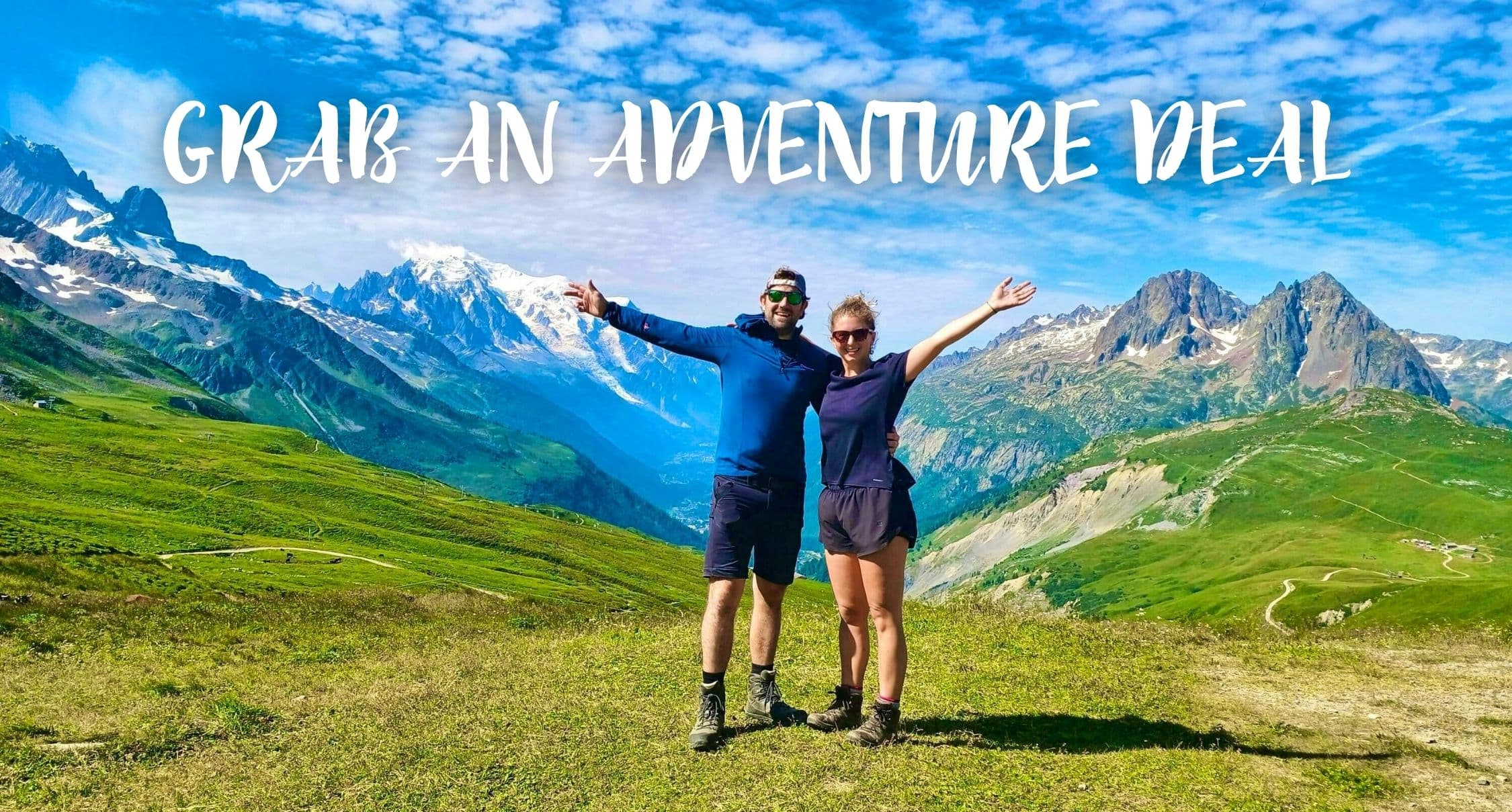
Discover trips on sale on Skyhook. Book once-in-a-lifetime adventures at discounted prices.
The Snowdon Ranger Path is considered the oldest of the six classic routes up Snowdon Mountain. Its name derives from John Morton, a local guide known as the "Snowdon Ranger," who led Victorian clients to Snowdon's summit during the 19th century. John Morton built a tavern called the "Snowdon Ranger Inn" on the site where the YHA hostel stands today. Offering a blend of natural beauty, history, and tranquility, the Snowdon Ranger Path is perfect for those who prefer a less crowded trail.
Route Essentials
Distance: 8 miles (round trip)
Ascent: 937 meters
Duration: Approximately 5.5 to 6.5 hours
Start Location: Llyn Cwellyn Car Park (postcode LL54 7YS)
Parking: Llyn Cwellyn Pay and Display Car Park (postcode LL54 7YS)
Your journey begins at the Llyn Cwellyn Car Park, situated just off the A4085 between Betws Garmon and Beddgelert. Follow the signs for the bridleway, cross the railway track, and continue until you reach a farmhouse. Turn right and make your way along the zigzag path that meanders through the flat mountainside.
After about 1 km, the path splits (SH 573 552). Stay on the straight-ahead path, avoiding the left-hand path that leads to Llanberis and the Moel Cynghorion route via Bwlch Carreg y Gigfran. The gravelly path now heads east for 2 km, gradually ascending through pasture towards Llyn Ffynnon-y-gwas lake on your right.
The path becomes steeper and more challenging as it ascends the rocky shoulder to Clogwyn Du'r Arddu. Continue along the zigzag path over rocky terrain for a few hundred meters, marveling at the impressive views of Cwm Clogwyn's lake-filled basin and the Llechog and Bwlch Main ridge.
Follow the rocky scree path, marked with cairns, as it moves away from the ridge and begins to flatten out. Although less steep, the path remains loose underfoot, and the barren terrain can make route-finding tricky in poor conditions. Stay on the path, following the cairns and walking in a south-easterly direction as the route steepens once again for the next 800 meters.
Upon reaching a large standing stone marking the path and the crossing of the Snowdon Mountain Railway track, ensure you check before crossing, as the train may be difficult to see or hear in poor weather. Cross the track, and after a short walk, reach the second large marker stone indicating the joining of the Llanberis Path. You will leave the Snowdon Ranger Path and follow the Llanberis Path to the summit. Turn right, heading south, until you reach the third and final marker stone, which marks the convergence of the Pyg Track and the Llanberis Path. Remember these marker stones, as they will be crucial for a seamless descent.
As you approach the summit, the trail becomes busier with walkers from the Llanberis Path, Snowdon Ranger Path, and Pyg Track converging for the final few hundred meters. The final stretch offers spectacular views of the mountain lakes and the sharp ridges of Crib Goch and Y Lliwedd, which form the Snowdon Horseshoe.
Climb the steps to the summit cairn and take in the panoramic views of the Snowdon Massif and Snowdonia National Park. Bask in your accomplishment, knowing you've conquered one of the most serene and historic routes up Snowdon Mountain.
Rhyd Ddu is very quiet compared to the other routes
The Rhyd Ddu Path is a lesser-known route up Snowdon, and many experienced hikers consider it their favorite. This path is peaceful and far less crowded than others, often with only a few fellow hikers encountered until the summit. The path offers stunning views and showcases a different side of Snowdon, allowing hikers to fully appreciate the mountain's natural beauty. In addition, the Snowdon South Ridge can be combined with the Rhyd Ddu Path to create an extraordinary circular route. The journey takes about 6-7 hours, covering 7.5 miles with an ascent of 890 meters. The trail starts at the Rhyd Ddu Car Park (LL54 6TN). It's important to arrive early, as parking can be limited later in the day.
Watkin Path
The Watkin Path is the most challenging of the Snowdon routes, taking hikers almost the full 1,085 meters of Snowdon's height from the trailhead, which is near sea level. The Watkin Path offers a diverse range of scenery, starting in woodlands and following raging waterfalls before entering the vast Cwm Llan and Cwm Tregalan. Breathtaking views of Llyn Llydaw and Crib Goch can be enjoyed from Bwlch Ciliau. The hike takes 6-7 hours to complete, covering 8 miles with an ascent of 1,015 meters. The starting point is across the road from the car park, and parking is available at the Pay & Display in Nantgwynant (LL55 4NR). The final summit section is steep and challenging, but the views are well worth the effort. The Watkin Path can also be combined with the Snowdon South Ridge for a rewarding circular route.
Packing List for a Safe Snowdon Hike
Base layer/t-shirt: Choose non-cotton, quick-drying, and sweat-wicking materials, such as synthetic fabrics or merino wool
Walking trousers: Avoid jeans or heavy cotton garments; opt for lightweight, breathable, and quick-drying materials
Fleece, down jacket, or synthetic insulated jacket: Bring an extra layer for warmth when resting or in cooler weather
Windproof smock: A lightweight option to protect against wind without causing overheating or excessive sweating
Waterproof jacket and trousers: Essential for unpredictable weather and protection against rain
Warm hat and gloves: Useful even in summer to keep warm at higher altitudes
Mid-weight walking socks: Choose breathable, moisture-wicking socks for summer conditions; reserve thick socks for winter
Walking boots: Ensure they are comfortable and broken in; opt for fabric boots in summer and waterproof-lined boots for wet conditions
Trekking poles (optional): Can provide extra support and stability
Rucksack (20-35L capacity): Large enough to hold spare clothes and equipment; ensure easy access for adding or removing layers
Rucksack liner: To keep belongings dry in wet conditions
Sunglasses, sun cream, and sun hat: Necessary for sun protection
Personal first aid kit: For minor injuries and emergencies
Torch: Useful for navigating in low light or unexpected darkness
Whistle: For attracting attention in case of an emergency
Survival bag: Can provide shelter and protection in emergency situations
Spare high-calorie food: In case of unexpected delays or low energy
Water: Stay hydrated throughout the hike
Map and compass: Essential for navigation; ensure you know how to use them effectively!
Have a great hike!
In conclusion, embarking on a hike up Snowdon is an unforgettable adventure. With proper planning, the right gear, and a spirit of exploration, you'll be able to fully appreciate the breathtaking views and challenging terrain that this iconic mountain has to offer. For those looking to expand their horizons even further, consider exploring the wide range of exciting trips offered by Skyhook. With destinations spanning across the globe, there's always a new adventure waiting to be discovered. Happy exploring!